Nga Tapuwai o Mataoho, footprints of Mataoho. Mangere Mountain
Mangere Mountain has a number of important features for Auckland Volcanic Field geeks to get excited about.
the shape of the scoria cone (steep sided compared with Rangitoto a shield volcano where the molten basalt flowed freely without a high gas content.)
major landsape features and processes (explosion crater, large southern cone with a smaller cone to the north) Other landscape features including a breach on the eastern side of the southern cone that allowed basalt to flow freely where the football fields are now. Another minor breach that local Maori had to fortify to prevent incursions by unwelcome guests
Assorted lava bombs and evidence of fire fountaining as volcanic activity waned
Human impact through stone gardens, kumara pits. There was substantial quarying as durable basalt and scoria were removed for building purposes.
The mountain is still there but the Greenbay High School students who went on this trip have now moved onwards upwards and sideways
the shape of the scoria cone (steep sided compared with Rangitoto a shield volcano where the molten basalt flowed freely without a high gas content.)
major landsape features and processes (explosion crater, large southern cone with a smaller cone to the north) Other landscape features including a breach on the eastern side of the southern cone that allowed basalt to flow freely where the football fields are now. Another minor breach that local Maori had to fortify to prevent incursions by unwelcome guests
Assorted lava bombs and evidence of fire fountaining as volcanic activity waned
Human impact through stone gardens, kumara pits. There was substantial quarying as durable basalt and scoria were removed for building purposes.
Watch out for some of the features in the video of the field trip.
The basaltic magma is produced 70Km below the surface as the pacific plate is subducted beneath the Australian plate. It gradually makes it way to the surface and it is only a matter of time before another volcano joins 50 others dotted accross the Auckland landscape
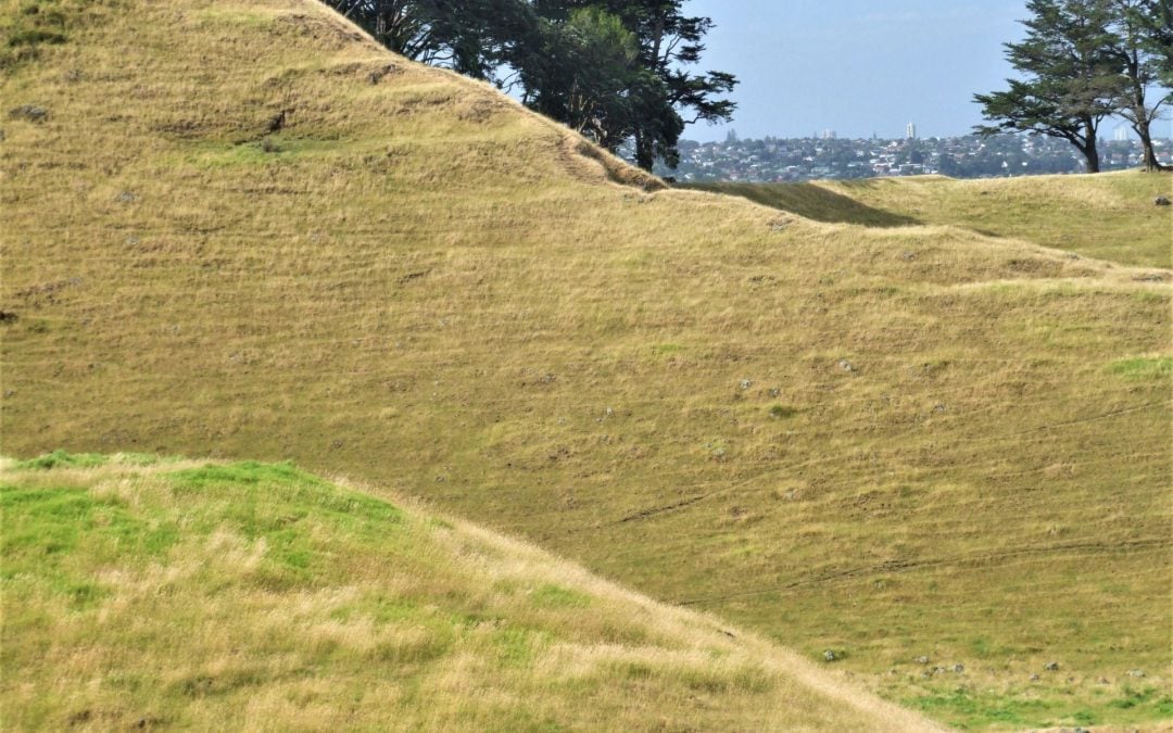
The landmarker walk trails around the mountain, Humps hollows and terraces are traces of a large community that lived in the shelter of the mountain, The formation of the mountain would have been extremely violent.