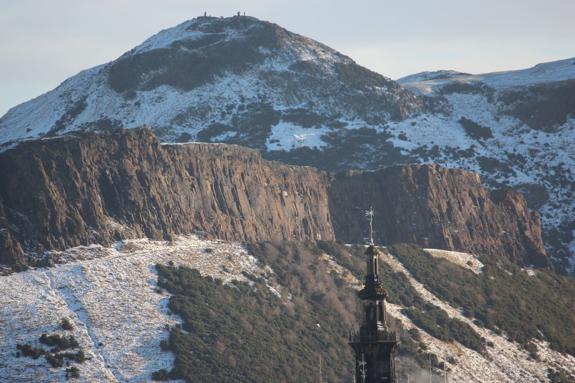
The remains of two fossil forrests can be found on the foreshore and in the cliffs at Ihumatao.
There are two fossil forests at Ihumatao both destroyed in different circumstances over a period of 100,000 years.
The oldest a mature Kauri forest had trees varying in diameter from from 70 centimetres to3 metres. Some of the fossil Kauri trees must originally have been giants rising more than 20 metres into the air before branches sprayed out. What killed the first forest?
It was probably a slow death. Logs and stumps from this forest are found in thick peaty sediment. This may have occurred through natural swamp formation in the area with the forest slowly drowning. Logs and stumps are exposed in cliffs at the top of the beach and on the foreshore where the dark sediment has eroded.
Over time the conditions that produced the swamp changed and the land dried sufficiently for another forest to flourish. Trees found growing in this rich peaty soil included rimu, miro and hinau. About 50,000 years ago disaster struck again. Nearbye Maungataketake exploded into life. Yellowish to brown volcanic ash rained down on the trees stripping leaves from branches and branches from trees. The explosive force of eruptions snapped trunks in two. The remains of the forest was buried in ash and lava bombs .
Rangitoto is Auckland’s youngest volcano. Early eruptions broke out under the sea about 600 million years ago.
Maori inhabitants on nearbye Motutapu witnessed these eruptions leaving trace footprints in ash. Scoria.
As with all volcanos in the Auckland the driving force for activity on the surface is the subduction of the pacific plate beneath the australian plate.
fountained from a central cone and basalt lava flowed freely from its base, overlapping to produce a symetrical shield shape. Mangere mountain is another example of a scoria cone.
The lava flows cooled to from a hard crust on the surface. In places this was broken into slabs by the drag effect of lava flowing beneath.
Lava sometimes drained to leave behind caves which are now open to view after roof collapse.
On the foreshore at the wharf thick syrupy flows can be seen.
Older volcanos North head and mountain Victoria lie accross the Waitemata.
After 600 years there is very little soil on the surface of rocks for plants to grow.
Mosses and lichens would have been the first colonisers. As they died a thin layer of humus formed
Pohutukawa were the first trees to take hold in a very dry environment. The base rock is porous.
After wind borne invaders arrived they attracted birds who brought with them more seeds to grow and develop.
Geology.
The photos.
How to get there.
By Fullers Ferries from Auckland Wharf. The cruise out to Rangitoto also offers the option of taking the Volcanic Explorer a tractor drawn train up the volcano rather than walking. You can cover more ground this :
Bibliography
A Field Guide to Auckland by Ewen Cameron, Bruce Hayward and Graeme Murdoch. Published by Random House New Zealand 2001.
Lava And Strata by Lloyd Homer, Phil Moore and Les Kermode. Published by Landscape publications limited in association with The Institute of Geological and Nuclear Sciences
the shape of the scoria cone (steep sided compared with Rangitoto a shield volcano where the molten basalt flowed freely without a high gas content.)
major landsape features and processes (explosion crater, large southern cone with a smaller cone to the north) Other landscape features including a breach on the eastern side of the southern cone that allowed basalt to flow freely where the football fields are now. Another minor breach that local Maori had to fortify to prevent incursions by unwelcome guests
Assorted lava bombs and evidence of fire fountaining as volcanic activity waned
Human impact through stone gardens, kumara pits. There was substantial quarying as durable basalt and scoria were removed for building purposes.
Watch out for some of the features in the video of the field trip.
The basaltic magma is produced 70Km below the surface as the pacific plate is subducted beneath the Australian plate. It gradually makes it way to the surface and it is only a matter of time before another volcano joins 50 others dotted accross the Auckland landscape